Historic cemeteries often present a difficult archaeological problem: the people are buried there, but the locations of individual graves may no longer be visible at the ground surface. Over time, markers may be lost, damaged, or removed. As a result, a cemetery that appears to contain open ground may actually contain numerous unmarked burials. Ground-penetrating radar (GPR) is commonly used to detect and map such burials, but surveys are labor-intensive and require specialized expertise. Recent work in East Tennessee suggests that drone-based lidar and thermal remote sensing can also detect unmarked graves. This webinar will present case studies from two historic cemeteries where thermal, lidar, and ground-penetrating radar surveys were conducted, highlighting the potential of drone-based remote sensing as a tool for cemetery mapping.
View this presentation on the MAGIC YouTube Channel.
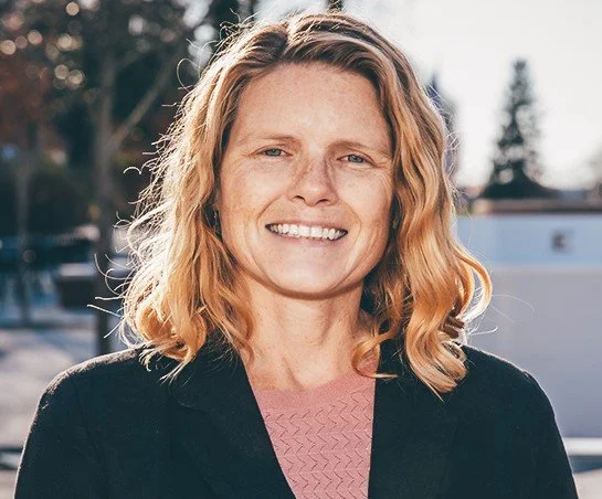
Dr. Eileen G. Ernenwein is an Associate Professor of Geosciences at East Tennessee State University (ETSU), where she teaches courses in GIS and remote sensing and serves as coordinator of ETSU’s Graduate Certificate in GIS. With more than two decades of experience using ground-penetrating radar and other geophysical methods to map and analyze archaeological sites around the world, she has spent much of her career looking beneath the ground. These days, she is having a lot of fun looking from above—and is excited about the amazing things drone-based remote sensing can reveal!